
Chambeshi topographic map
Interactive map
Click on the map to display elevation.
About this map
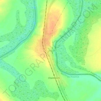
Name: Chambeshi topographic map, elevation, terrain.
Location: Chambeshi, Muchinga Province, Zambia (-10.97325 31.04999 -10.93325 31.08999)
Average elevation: 1,192 m
Minimum elevation: 1,175 m
Maximum elevation: 1,211 m