
Suar topographic map
Interactive map
Click on the map to display elevation.
About this map
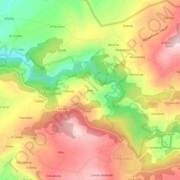
Name: Suar topographic map, elevation, terrain.
Location: Suar, Lugo, Galicia, 27611, Spain (42.75975 -7.59807 42.79975 -7.55807)
Average elevation: 554 m
Minimum elevation: 350 m
Maximum elevation: 722 m