
Kuh-e Kuzur topographic map
Interactive map
Click on the map to display elevation.
About this map
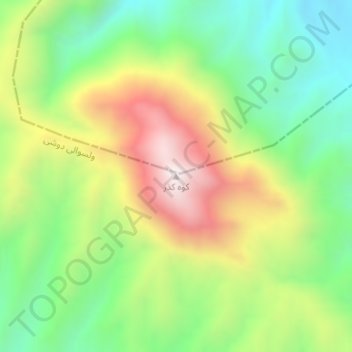
Name: Kuh-e Kuzur topographic map, elevation, terrain.
Location: Kuh-e Kuzur, Dushi, Baghlan, Afghanistan (35.80972 68.88854 35.80982 68.88864)
Average elevation: 1,544 m
Minimum elevation: 1,196 m
Maximum elevation: 2,040 m
Other topographic maps
Click on a map to view its topography, its elevation and its terrain.