
Panshet Dam topographic map
Interactive map
Click on the map to display elevation.
About this map
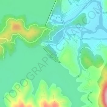
Name: Panshet Dam topographic map, elevation, terrain.
Location: Panshet Dam, Kuran Budruk, Velhe, Maharashtra, India (18.37577 73.61124 18.38034 73.61567)
Average elevation: 633 m
Minimum elevation: 577 m
Maximum elevation: 772 m