
Bagaut topographic map
Interactive map
Click on the map to display elevation.
About this map
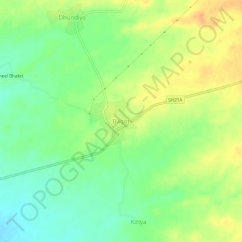
Name: Bagaut topographic map, elevation, terrain.
Location: Bagaut, Parbatsar Tehsil, Nagaur, Rajasthan, India (26.79033 74.57302 26.83033 74.61302)
Average elevation: 423 m
Minimum elevation: 406 m
Maximum elevation: 441 m