
Yorkton topographic map
Interactive map
Click on the map to display elevation.
About this map
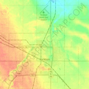
Name: Yorkton topographic map, elevation, terrain.
Location: Yorkton, Census Division No. 9, Saskatchewan, Canada (51.18052 -102.52139 51.24704 -102.40437)
Average elevation: 507 m
Minimum elevation: 488 m
Maximum elevation: 524 m