
Lanja topographic map
Interactive map
Click on the map to display elevation.
About this map
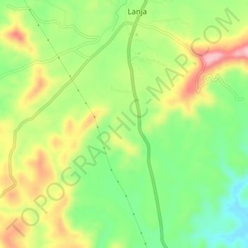
Name: Lanja topographic map, elevation, terrain.
Location: Lanja, Ratnagiri, Maharashtra, India (16.82060 73.52650 16.86060 73.56650)
Average elevation: 146 m
Minimum elevation: 65 m
Maximum elevation: 247 m