
Palampur topographic map
Interactive map
Click on the map to display elevation.
About this map
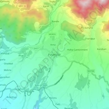
Name: Palampur topographic map, elevation, terrain.
Location: Palampur, Kangra, Himachal Pradesh, 176061, India (31.94955 76.37595 32.26955 76.69595)
Average elevation: 1,764 m
Minimum elevation: 640 m
Maximum elevation: 4,902 m
Other topographic maps
Click on a map to view its topography, its elevation and its terrain.