
Angamaly topographic map
Interactive map
Click on the map to display elevation.
About this map
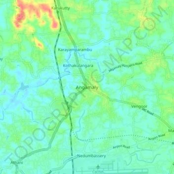
Name: Angamaly topographic map, elevation, terrain.
Location: Angamaly, Aluva, Ernakulam, Kerala, 683572, India (10.15103 76.34741 10.23103 76.42741)
Average elevation: 15 m
Minimum elevation: 0 m
Maximum elevation: 60 m
Other topographic maps
Click on a map to view its topography, its elevation and its terrain.