
Madhavaram topographic map
Interactive map
Click on the map to display elevation.
About this map
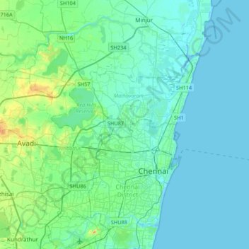
Name: Madhavaram topographic map, elevation, terrain.
Average elevation: 10 m
Minimum elevation: -2 m
Maximum elevation: 67 m
Madhavaram is located at 13°09′N 80°14′E / 13.15°N 80.24°E / 13.15; 80.24. It has an average elevation of 13 metres (42 feet).