
Topi topographic map
Interactive map
Click on the map to display elevation.
About this map
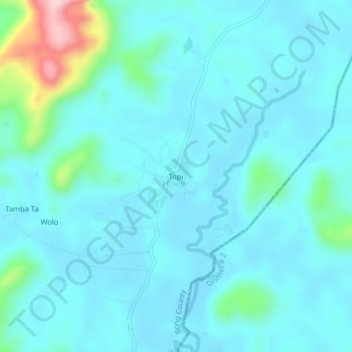
Name: Topi topographic map, elevation, terrain.
Location: Topi, Salala, Bong County, Liberia (6.63306 -9.89167 6.67306 -9.85167)
Average elevation: 217 m
Minimum elevation: 183 m
Maximum elevation: 432 m