
Shalnagar topographic map
Interactive map
Click on the map to display elevation.
About this map
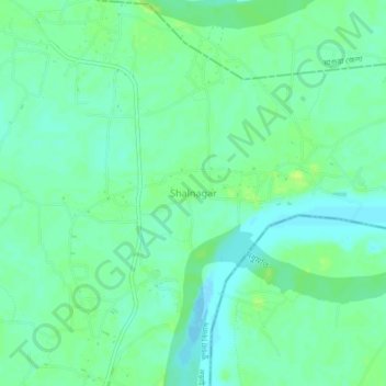
Name: Shalnagar topographic map, elevation, terrain.
Location: Shalnagar, Narail District, Khulna Division, Bangladesh (23.25575 89.60719 23.29575 89.64719)
Average elevation: 6 m
Minimum elevation: -2 m
Maximum elevation: 13 m