
Narnuru topographic map
Interactive map
Click on the map to display elevation.
About this map
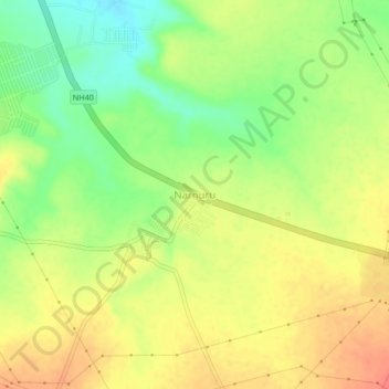
Name: Narnuru topographic map, elevation, terrain.
Location: Narnuru, Orvakal, Kurnool, Andhra Pradesh, 518023, India (15.70047 78.06737 15.74047 78.10737)
Average elevation: 344 m
Minimum elevation: 315 m
Maximum elevation: 367 m