
Si Sa Ket topographic map
Interactive map
Click on the map to display elevation.
About this map
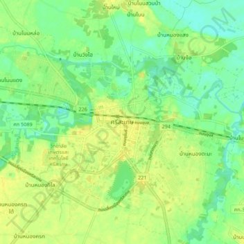
Name: Si Sa Ket topographic map, elevation, terrain.
Location: Si Sa Ket, น้ำคำ, Sisaket, Thaïlande (15.07441 104.28887 15.15441 104.36887)
Average elevation: 125 m
Minimum elevation: 114 m
Maximum elevation: 135 m
Other topographic maps
Click on a map to view its topography, its elevation and its terrain.