
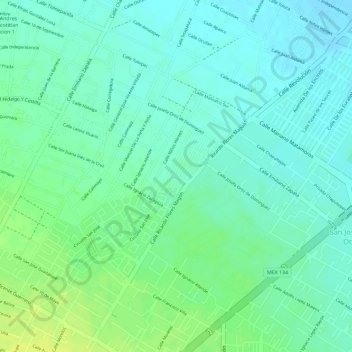
San Mateo Otzacatipan topographic map
Interactive map
Click on the map to display elevation.
About this map
Name: San Mateo Otzacatipan topographic map, elevation, terrain.
Average elevation: 2,591 m
Minimum elevation: 2,583 m
Maximum elevation: 2,603 m
Other topographic maps
Click on a map to view its topography, its elevation and its terrain.
Área Verde Fuente de la Joya
México > Estado de México > San Nicolas Tolentino
Área Verde Fuente de la Joya, San Andres Coexcotitlan Seccion 1, San Cristóbal, San Nicolas Tolentino, Toluca, Estado de México, México
Average elevation: 2,590 m