
Phitsanulok topographic map
Interactive map
Click on the map to display elevation.
About this map
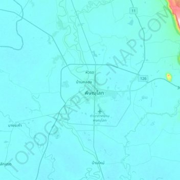
Name: Phitsanulok topographic map, elevation, terrain.
Location: Phitsanulok, จังหวัดพิษณุโลก, 65000, Thaïlande (16.65896 100.09681 16.97896 100.41681)
Average elevation: 46 m
Minimum elevation: 36 m
Maximum elevation: 341 m