
Brodhead topographic map
Interactive map
Click on the map to display elevation.
About this map
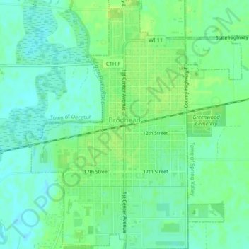
Name: Brodhead topographic map, elevation, terrain.
Location: Brodhead, Green County, Wisconsin, United States (42.60449 -89.39261 42.63372 -89.35811)
Average elevation: 241 m
Minimum elevation: 234 m
Maximum elevation: 248 m