
Seoul topographic map
Interactive map
Click on the map to display elevation.
About this map
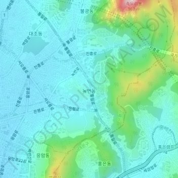
Name: Seoul topographic map, elevation, terrain.
Location: Nokbeon-dong, Eunpyeong-gu, Seoul, South Korea (37.59755 126.92060 37.61084 126.94818)
Average elevation: 77 m
Minimum elevation: 19 m
Maximum elevation: 335 m
Other topographic maps
Click on a map to view its topography, its elevation and its terrain.
Seoul
South Korea > Seoul > Eunpyeong-gu
Gusan-dong, Eunpyeong-gu, Seoul, South Korea
Average elevation: 52 m