
Rainier topographic map
Interactive map
Click on the map to display elevation.
About this map
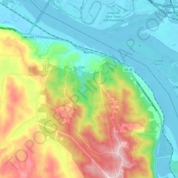
Name: Rainier topographic map, elevation, terrain.
Location: Rainier, Columbia County, Oregon, USA (46.07873 -122.97832 46.11125 -122.90412)
Average elevation: 49 m
Minimum elevation: -7 m
Maximum elevation: 256 m