
Canton topographic map
Interactive map
Click on the map to display elevation.
About this map
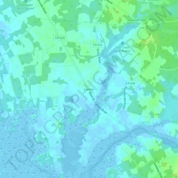
Name: Canton topographic map, elevation, terrain.
Location: Canton, Salem County, New Jersey, United States (39.45095 -75.43492 39.49095 -75.39492)
Average elevation: 3 m
Minimum elevation: -4 m
Maximum elevation: 13 m