
Tejeda topographic map
Interactive map
Click on the map to display elevation.
About this map
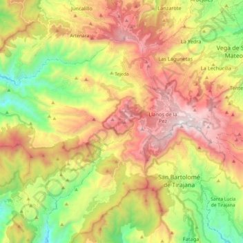
Name: Tejeda topographic map, elevation, terrain.
Location: Tejeda, Las Palmas, Canary Islands, 35360, Spain (27.91021 -15.74973 28.01824 -15.56985)
Average elevation: 1,077 m
Minimum elevation: 276 m
Maximum elevation: 1,947 m