
Les Abymes topographic map
Interactive map
Click on the map to display elevation.
About this map
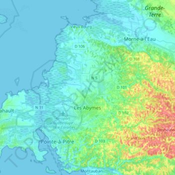
Name: Les Abymes topographic map, elevation, terrain.
Location: Les Abymes, Pointe-à-Pitre, Guadeloupe, France (16.22292 -61.59708 16.35379 -61.43680)
Average elevation: 23 m
Minimum elevation: -3 m
Maximum elevation: 128 m