
Mount Tabac topographic map
Interactive map
Click on the map to display elevation.
About this map
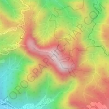
Name: Mount Tabac topographic map, elevation, terrain.
Location: Mount Tabac, Soufriere, ST. LUCIA, St. Lucia (13.86802 -61.03419 13.86812 -61.03409)
Average elevation: 401 m
Minimum elevation: 39 m
Maximum elevation: 703 m