
Bradley topographic map
Interactive map
Click on the map to display elevation.
About this map
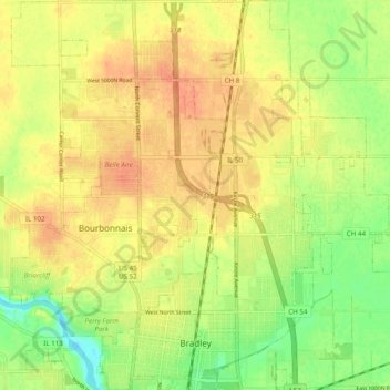
Name: Bradley topographic map, elevation, terrain.
Location: Bradley, Kankakee County, Illinois, 60915, USA (41.13327 -87.88604 41.20688 -87.81035)
Average elevation: 204 m
Minimum elevation: 180 m
Maximum elevation: 220 m