
Isri topographic map
Interactive map
Click on the map to display elevation.
About this map
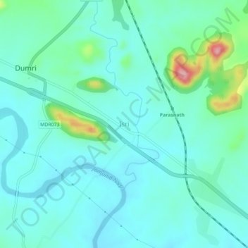
Name: Isri topographic map, elevation, terrain.
Location: Isri, Dumri, Giridih, Jharkhand, 825106, India (23.96527 86.00928 24.00527 86.04928)
Average elevation: 282 m
Minimum elevation: 254 m
Maximum elevation: 406 m