
Leyes de Reforma topographic map
Interactive map
Click on the map to display elevation.
About this map
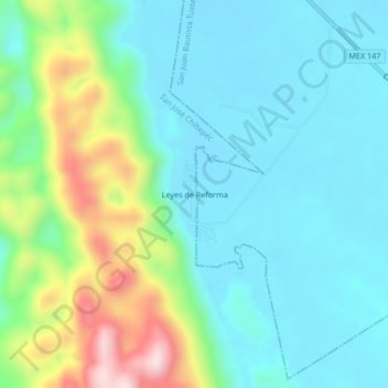
Name: Leyes de Reforma topographic map, elevation, terrain.
Location: Leyes de Reforma, San José Chiltepec, Oaxaca, México (17.91917 -96.12111 17.95917 -96.08111)
Average elevation: 149 m
Minimum elevation: 44 m
Maximum elevation: 473 m