
Abingdon topographic map
Interactive map
Click on the map to display elevation.
About this map
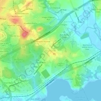
Name: Abingdon topographic map, elevation, terrain.
Location: Abingdon, Harford County, Maryland, 21009, USA (39.44233 -76.29912 39.48233 -76.25912)
Average elevation: 24 m
Minimum elevation: -2 m
Maximum elevation: 82 m