
Fort Branch topographic map
Interactive map
Click on the map to display elevation.
About this map
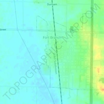
Name: Fort Branch topographic map, elevation, terrain.
Location: Fort Branch, Gibson County, Indiana, 47648, USA (38.23744 -87.58628 38.25736 -87.55921)
Average elevation: 136 m
Minimum elevation: 127 m
Maximum elevation: 160 m