
pha topographic map
Interactive map
Click on the map to display elevation.
About this map
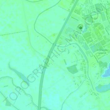
Name: pha topographic map, elevation, terrain.
Location: pha, 117, บ้านท่าโพธิ์, จังหวัดพิษณุโลก, 65009, Thaïlande (16.74142 100.18240 16.74230 100.18314)
Average elevation: 42 m
Minimum elevation: 37 m
Maximum elevation: 45 m