
Give topographic map
Interactive map
Click on the map to display elevation.
About this map
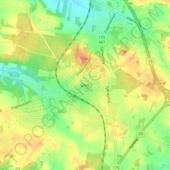
Name: Give topographic map, elevation, terrain.
Location: Give, Vejle Kommune, Danemark-du-Sud, 7323, Danemark (55.82555 9.22015 55.86555 9.26015)
Average elevation: 92 m
Minimum elevation: 71 m
Maximum elevation: 112 m