
Khara topographic map
Interactive map
Click on the map to display elevation.
About this map
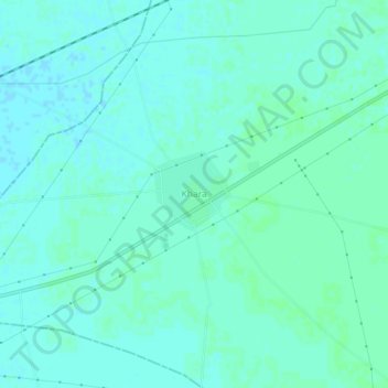
Name: Khara topographic map, elevation, terrain.
Location: Khara, Kotkapura Tahsil, Faridkot, Punjab, India (30.51280 74.69330 30.55280 74.73330)
Average elevation: 205 m
Minimum elevation: 202 m
Maximum elevation: 207 m