
Karunagapally topographic map
Interactive map
Click on the map to display elevation.
About this map
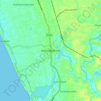
Name: Karunagapally topographic map, elevation, terrain.
Location: Karunagapally, Karunagappally, Kollam, Kerala, 690518, India (9.01514 76.49542 9.09514 76.57542)
Average elevation: 8 m
Minimum elevation: 0 m
Maximum elevation: 21 m
Other topographic maps
Click on a map to view its topography, its elevation and its terrain.
Clappana
India > Kerala > Karunagappally
Clappana, Karunagappally, Kollam District, Kerala, 690525, India
Average elevation: 5 m
Oachira
India > Kerala > Karunagappally > Oachira
Oachira, Karunagappally, Kollam, Kerala, 690526, India
Average elevation: 10 m
Chavara
India > Kerala > Karunagappally
Chavara, Karunagappally, Kollam, Kerala, 698582, India
Average elevation: 4 m