
Nirgua topographic map
Interactive map
Click on the map to display elevation.
About this map
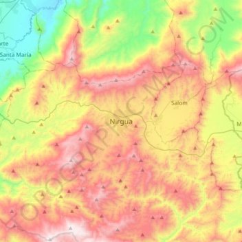
Name: Nirgua topographic map, elevation, terrain.
Average elevation: 770 m
Minimum elevation: 90 m
Maximum elevation: 1,516 m
Other topographic maps
Click on a map to view its topography, its elevation and its terrain.
Tejerías
Venezuela > Estado Yaracuy > Municipio Nirgua
Tejerías, Parroquia Nirgua, Municipio Nirgua, Estado Yaracuy, Venezuela
Average elevation: 1,028 m