
De Bult topographic map
Interactive map
Click on the map to display elevation.
About this map
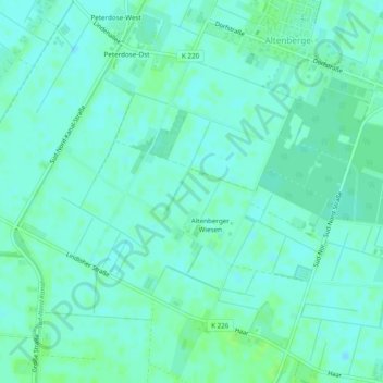
Name: De Bult topographic map, elevation, terrain.
Location: De Bult, Westerwolde, Groningen, Nederland (52.79217 6.09755 52.82131 6.13557)
Average elevation: 15 m
Minimum elevation: 11 m
Maximum elevation: 19 m
Other topographic maps
Click on a map to view its topography, its elevation and its terrain.
Hasseberg
Nederland > Groningen > Westerwolde
Hasseberg, Westerwolde, Groningen, Nederland, 9551TX, Nederland
Average elevation: 8 m
Ter Apelkanaal
Nederland > Groningen > Westerwolde
Ter Apelkanaal, Westerwolde, Groningen, Nederland, 9561NB, Nederland
Average elevation: 12 m