
Satpura Range topographic map
Interactive map
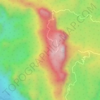
Click on the map to display elevation.
About this map
Name: Satpura Range topographic map, elevation, terrain.
Average elevation: 1,066 m
Minimum elevation: 783 m
Maximum elevation: 1,334 m
Other topographic maps
Click on a map to view its topography, its elevation and its terrain.
Tekapar
India > Madhya Pradesh > Pipariya Tahsil
Tekapar, Pipariya Tahsil, Narmadapuram District, Madhya Pradesh, 461778, India
Average elevation: 422 m
Dhupgarh
India > Madhya Pradesh > Pipariya Tahsil
Dhupgarh, Pipariya Tahsil, Narmadapuram, Madhya Pradesh, India
Average elevation: 1,079 m