
Emmeloord topographic map
Interactive map
Click on the map to display elevation.
About this map
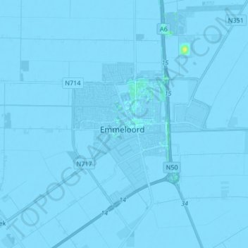
Name: Emmeloord topographic map, elevation, terrain.
Location: Emmeloord, Noordoostpolder, Flevoland, Netherlands (52.66949 5.69098 52.75143 5.82409)
Average elevation: -3 m
Minimum elevation: -6 m
Maximum elevation: 12 m
Other topographic maps
Click on a map to view its topography, its elevation and its terrain.