
Enter topographic map
Interactive map
Click on the map to display elevation.
About this map
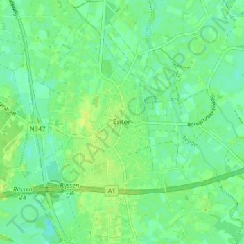
Name: Enter topographic map, elevation, terrain.
Location: Enter, Overijssel, Nederland, 7468, Nederland (52.27518 6.55740 52.31518 6.59740)
Average elevation: 12 m
Minimum elevation: 5 m
Maximum elevation: 17 m