
Rietmolen topographic map
Interactive map
Click on the map to display elevation.
About this map
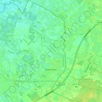
Name: Rietmolen topographic map, elevation, terrain.
Location: Rietmolen, Berkelland, Gelderland, Nederland (52.12488 6.60714 52.17419 6.67439)
Average elevation: 20 m
Minimum elevation: 14 m
Maximum elevation: 28 m
Other topographic maps
Click on a map to view its topography, its elevation and its terrain.
Gelselaar
Nederland > Gelderland > Berkelland
Gelselaar, Berkelland, Gelderland, Nederland
Average elevation: 15 m
Kasteel Huize Ruurlo
Nederland > Gelderland > Berkelland
Kasteel Huize Ruurlo, Vordenseweg, Ruurlo, Berkelland, Gelderland, Nederland, 7261LM, Nederland
Average elevation: 18 m