
Tanuku topographic map
Interactive map
Click on the map to display elevation.
About this map
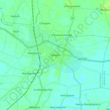
Name: Tanuku topographic map, elevation, terrain.
Location: Tanuku, West Godavari, Andhra Pradesh, 534211, India (16.71414 81.64584 16.79414 81.72584)
Average elevation: 11 m
Minimum elevation: 7 m
Maximum elevation: 17 m