
Kothagudem topographic map
Interactive map
Click on the map to display elevation.
Kothagudem
Kothagudem is located at 17°33′00″N 80°37′05″E / 17.55°N 80.618°E / 17.55; 80.618. It has an average elevation of 89 metres (295 ft) above sea level. The North of Kothagudem borders Chhattisgarh state which is approximately 120 km from the town.
About this map
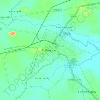
Name: Kothagudem topographic map, elevation, terrain.
Average elevation: 109 m
Minimum elevation: 81 m
Maximum elevation: 230 m