
Sangole topographic map
Interactive map
Click on the map to display elevation.
About this map
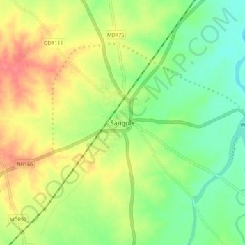
Name: Sangole topographic map, elevation, terrain.
Location: Sangole, Solapur, Maharashtra, 413307, India (17.39627 75.15323 17.47627 75.23323)
Average elevation: 505 m
Minimum elevation: 476 m
Maximum elevation: 541 m