
Sanand topographic map
Interactive map
Click on the map to display elevation.
About this map
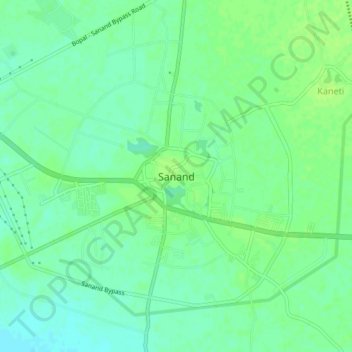
Name: Sanand topographic map, elevation, terrain.
Average elevation: 40 m
Minimum elevation: 33 m
Maximum elevation: 44 m
Sanand is located at 22°59′N 72°23′E / 22.98°N 72.38°E / 22.98; 72.38. It has an average elevation of 38 metres (124 feet).