
Sangamner topographic map
Interactive map
Click on the map to display elevation.
Sangamner
Sangamner is located at 19°34′N 74°13′E / 19.57°N 74.22°E / 19.57; 74.22, on the banks of the Pravara River. It has an average elevation of 549 metres (1,801 ft)from mean sea level. Sangamner is the biggest settlement on NH 50 (New NH-60) between Pune (143 km distance) and Nashik (69 km distance). It is about 230 km from financial capital of India, Mumbai. On 15 August 2014, newly constructed by-pass was opened for traffic (9.5 km) which saves about 30.0 min of commute time. In recent years, the city outskirts has been developed tremendously. Kalsubai, the highest peak in Maharashtra is 68 km from Sangamner. It is the most developed city, largest market place (bazarpeth) in district after Ahemadnagar city.
About this map
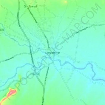
Name: Sangamner topographic map, elevation, terrain.
Location: Sangamner, Ahmednagar, Maharashtra, 422605, India (19.52634 74.17126 19.60634 74.25126)
Average elevation: 566 m
Minimum elevation: 542 m
Maximum elevation: 675 m