
Rawatbhata topographic map
Interactive map
Click on the map to display elevation.
About this map
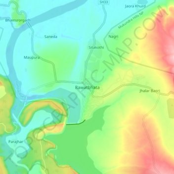
Name: Rawatbhata topographic map, elevation, terrain.
Location: Rawatbhata, Rawatbhata Tehsil, Chittorgarh, Rajasthan, India (24.89459 75.54833 24.97459 75.62833)
Average elevation: 352 m
Minimum elevation: 298 m
Maximum elevation: 464 m
Rawatbhata is located at 24°56′N 75°35′E / 24.93°N 75.58°E / 24.93; 75.58. It has an average elevation of 325 metres (1066 feet).