
Umargam road topographic map
Interactive map
Click on the map to display elevation.
About this map
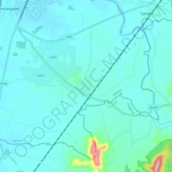
Name: Umargam road topographic map, elevation, terrain.
Location: Umargam road, Umbergaon Taluka, Valsad, Gujarat, 396105, India (20.11782 72.74854 20.19782 72.82854)
Average elevation: 24 m
Minimum elevation: 0 m
Maximum elevation: 234 m