
Malout topographic map
Interactive map
Click on the map to display elevation.
About this map
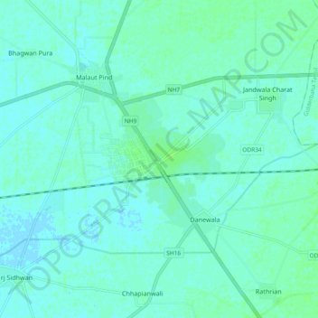
Name: Malout topographic map, elevation, terrain.
Location: Malout, Malout Tahsil, Muktsar, Punjab, 152107, India (30.15026 74.46012 30.23026 74.54012)
Average elevation: 195 m
Minimum elevation: 192 m
Maximum elevation: 199 m