
Shirur topographic map
Interactive map
Click on the map to display elevation.
About this map
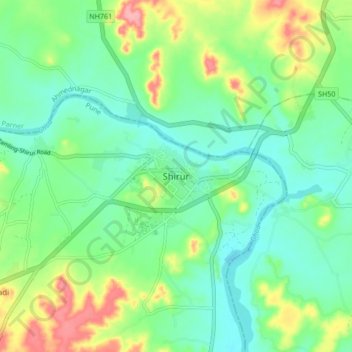
Name: Shirur topographic map, elevation, terrain.
Location: Shirur, Pune, Maharashtra, 413249, India (18.78659 74.33253 18.86659 74.41253)
Average elevation: 575 m
Minimum elevation: 543 m
Maximum elevation: 645 m