
Mavoor topographic map
Interactive map
Click on the map to display elevation.
About this map
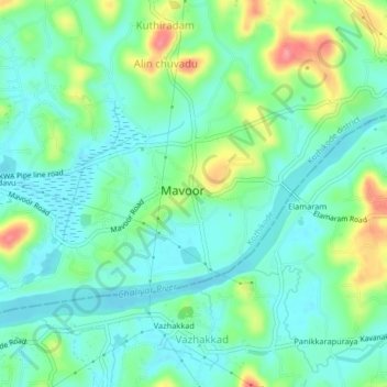
Name: Mavoor topographic map, elevation, terrain.
Location: Mavoor, Kozhikode, Kerala, 673640, India (11.24052 75.93418 11.28052 75.97418)
Average elevation: 24 m
Minimum elevation: -1 m
Maximum elevation: 83 m