
Loha topographic map
Interactive map
Click on the map to display elevation.
About this map
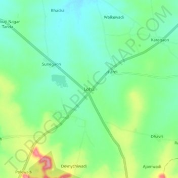
Name: Loha topographic map, elevation, terrain.
Location: Loha, Nānded, Nanded, Maharashtra, 431708, India (18.91679 77.08432 18.99679 77.16432)
Average elevation: 405 m
Minimum elevation: 371 m
Maximum elevation: 491 m