
Vandavasi topographic map
Interactive map
Click on the map to display elevation.
About this map
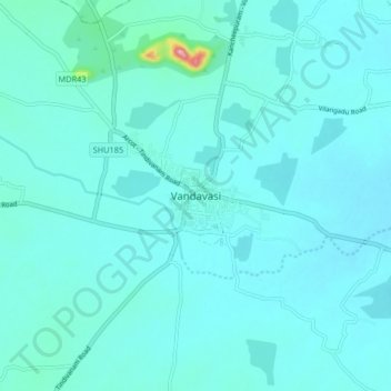
Name: Vandavasi topographic map, elevation, terrain.
Location: Vandavasi, Tiruvanamalai District, Tamil Nadu, 604408, India (12.46560 79.56496 12.54560 79.64496)
Average elevation: 79 m
Minimum elevation: 61 m
Maximum elevation: 266 m
Vandavasi is located at 12°30′N 79°37′E / 12.5°N 79.62°E / 12.5; 79.62. It lies 110 km southwest of Chennai, 40 km south of the temple city of Kanchipuram, 80 km northeast of Thiruvannamalai, 42 km southeast of Arani & 80 km from Vellore. The town is well-connected with Chennai by road. It is situated at an average elevation of 74 metres (242 feet) above sea level. Vandavasi's climatic condition is similar to that of Chennai, lying on the thermal equator and close to the coast, while most of the year the climate is hot and humid.